
Search a place, drop your waypoints, click once. You get a real AE composition with map footage, a 3D camera with keyframes you can edit and your route as a shape layer; not a video you have to accept as it is.
Buy Map Animator ProWindows & macOS · After Effects 2019 and later · try the free demo
Works with the map sources you already use
Everything arrives as native After Effects layers. The camera is a normal AE camera: move a keyframe, change the easing, add a stop. Nothing sends you back to the panel to redo it.
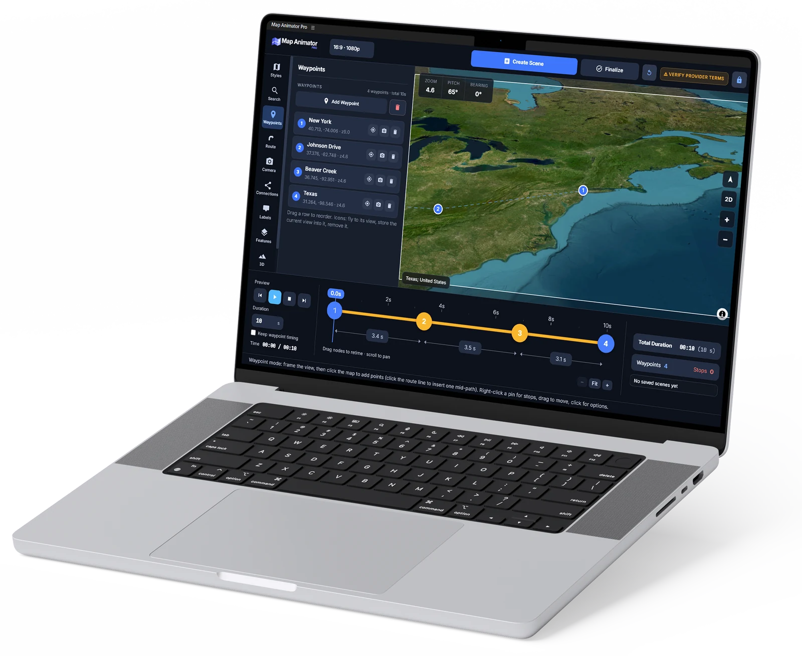
Search by name or address, or drop waypoints straight on the map. Set the zoom, tilt and rotation you want at each one.
The plugin builds the composition: map footage, a 3D camera flying your waypoints, pins with labels, and the attribution layer already in place.
Adjust the flight with AE’s own tools. When it looks right, Finalize re-renders only the map detail the camera actually frames, at full resolution.
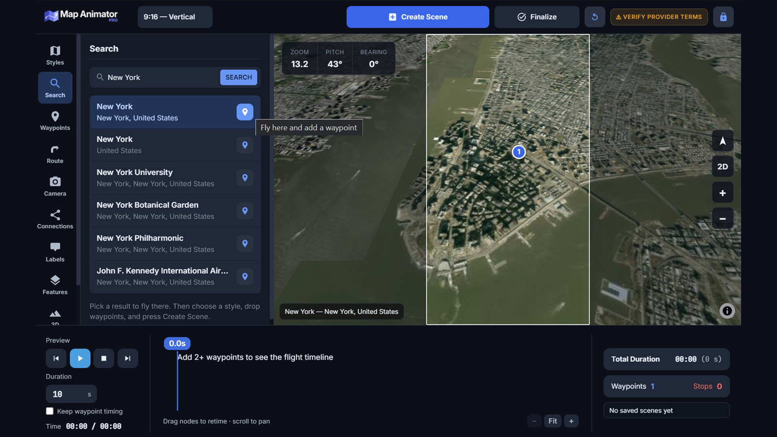
Search any city, address or landmark and the map flies to it. What you see in the panel is what the composition will show: the viewport keeps the exact aspect ratio of the comp format you picked, be it 16:9, vertical, square or 4K, and dims everything outside the frame. No guessing, no re-cropping in After Effects.
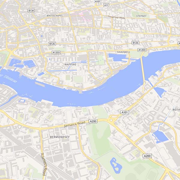
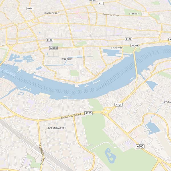
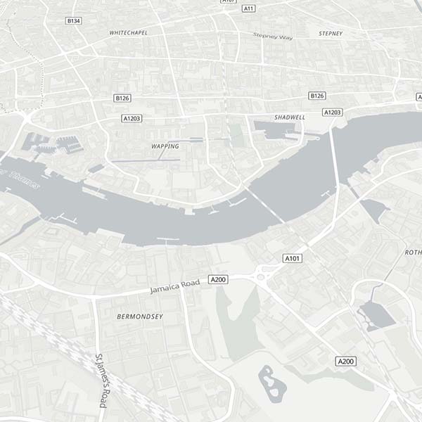
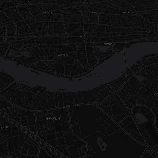
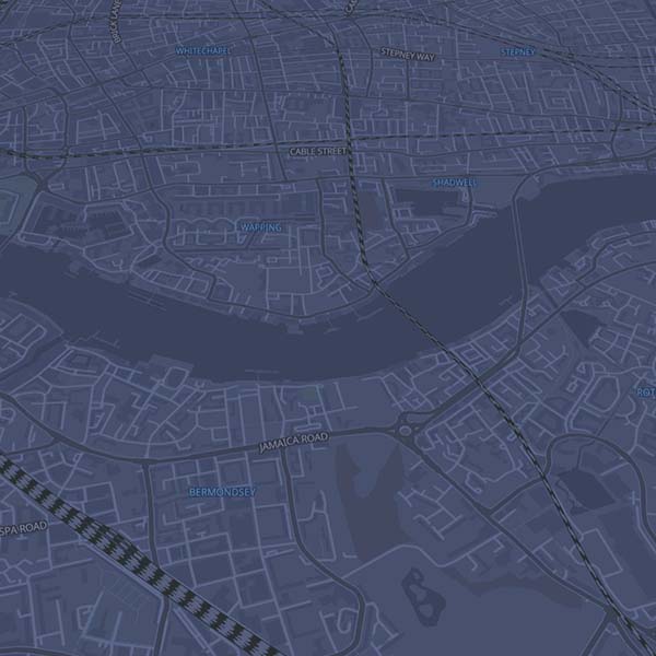
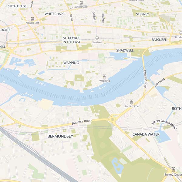
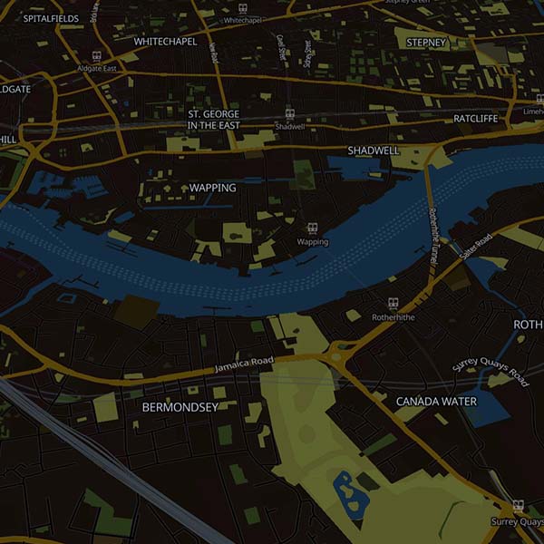
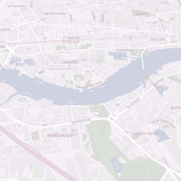
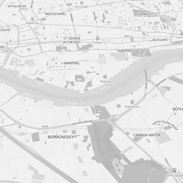
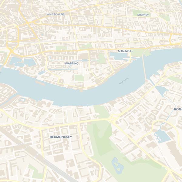
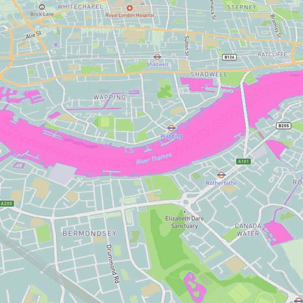
Pick from styles that need no account: OpenFreeMap, Versatiles, Carto, Esri satellite. Or paste your own key for MapTiler, Mapbox, Thunderforest, Jawg, Geoapify and Stadia. Any Mapbox or MapLibre style.json can be added by URL, so a style your studio designed drops straight in. Each style carries a licence badge, and the attribution goes into the comp on its own.
These ship with the plugin and work straight away, most of them without an account of any kind. They are a starting point, not the limit: paste your own API key for MapTiler, Mapbox, Thunderforest, Jawg, Geoapify or Stadia to unlock their catalogues, or add any Mapbox / MapLibre style.json by URL, including one your studio designed.
.jpg)
.jpg)
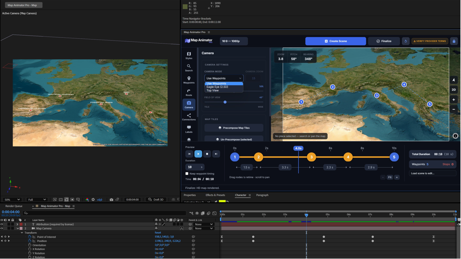
Drop numbered waypoints on the map and each one remembers the view you framed: zoom, tilt, rotation. By default the camera flies through them. Right-click a pin to turn it into a stop and set how long it holds there. Drag a pin to move it, drag a row to reorder the flight, or store the current view back into a waypoint you want to re-frame.
The timeline along the bottom of the panel shows every leg of the flight and every stop. Drag a node to give one leg more time and another less, drag the first or last node for a lead-in or a closing hold, scrub the playhead to see the move at speed. Set one total duration and the panel spreads the rest, or lock the timing you already tuned, so a new waypoint extends the animation instead of squeezing what came before.
Map Animator Pro builds one 3D camera with genuine keyframes in your comp. Choose how it moves: through your waypoints using each one’s own framing, an Eagle Eye 2.5D sat-nav view leaning into the direction of travel, or a straight-down Top View. Set how high it arcs between points and how wide the lens is: wide for exaggerated depth, tele to flatten it. Then treat it like any AE camera.
Click points on the map and the legs snap to the real road network: driving, or walking where cars can’t go. Turn snapping off and the legs become straight great-circle lines, the right shape for a flight. Already have the track? Import a GPX or KML and it becomes the route. The line arrives in After Effects as an editable shape layer with your colour, width and dash, and it can draw itself on in sync with the flight.
One button adds a null that travels along the route, in sync with the line drawing itself on, turning to face the direction of travel through every curve. Parent a car, a plane, an arrow, anything at all, and it follows. It reads the scene by itself: on 3D terrain it rides the relief, on a flat map it stays on the map plane. Two sliders on the null tune the heading offset and steady a jittery GPS track.
Click two points on the map and they are joined by an arced connection line. Keep clicking to add more; hover a waypoint to snap an endpoint onto it. Control how high each arc bows, taper the ends into a comet, animate the lines drawing themselves on one after another, and attach a null that flies the arc, pitching up on departure, level at the top, down on arrival, so a plane parented to it behaves.
Choose a label style, type the text, click the spot. The label arrives as editable After Effects layers locked to that point on the map, so it travels with the ground as the camera moves. Keep the text horizontal on screen however the camera rolls or turns, and set the label language once: local names, English, or any of the languages the map data carries.
Made a logo, an icon or a photo in After Effects and want it on the map? Select it and Stick to Map converts it to 3D and lands it on the map plane at exactly the point it was over, compensating the scale so the current frame looks unchanged. Keep Size on Zoom does the opposite job: a pin or a label that holds its on-screen size while the camera dives from continent to street.
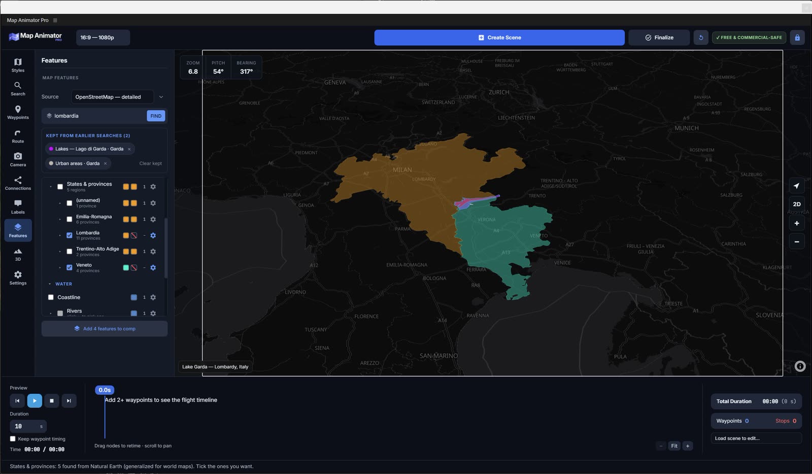
Pick a source: OpenStreetMap for surveyed detail, Natural Earth for clean generalized shapes at continental scale. Then focus on a country, a region or a city and see what is available. Tick a coastline, a border, a river, a lake, and they come into the composition as editable After Effects shape layers. Stroke them, fill them, trim them on, animate them. They are paths, not pictures.
One button turns free open elevation data into a textured terrain mesh rendered by After Effects’ own Advanced 3D renderer. No third-party plugin, nothing else to buy. Your map style is draped over it, satellite included, and the camera you already animated keeps flying, untouched. Push the vertical exaggeration for a dramatic look, or close the sides into a solid block with a base colour of your choosing.
Your route can lie on the relief either way, and the difference is worth knowing. Built this way, the line is painted into the terrain texture: it hugs every ridge, but the texture is a still image, so the line cannot draw itself on over time. If you own Trapcode Mir, a paid plugin from Maxon, the same scene builds on a Mir surface instead, and a Mir surface reads a composition rather than a picture: the route stays a live shape layer in its own precomp, its draw-on keeps animating on the relief, and Mir’s shading is yours to play with. The panel looks for Mir on your machine and offers that button only when it finds it.
Frame a city and press Buildings. Real OpenStreetMap footprints are extruded to their real heights and delivered as one GPU-drawn 3D model per height band, so even a dense downtown stays light instead of dropping thousands of shape layers into your comp. Colour each band before you build: low-rise, mid, high, tall, tower.
Create Scene builds the whole composition straight away at preview resolution: map, camera, keyframes, route, pins, attribution. You refine the move with After Effects’ own tools. Then Finalize looks at where the camera actually goes and re-renders those areas at full detail, and only what changed since last time. Change the flight, press Finalize again, and it redoes the parts that moved instead of starting over.
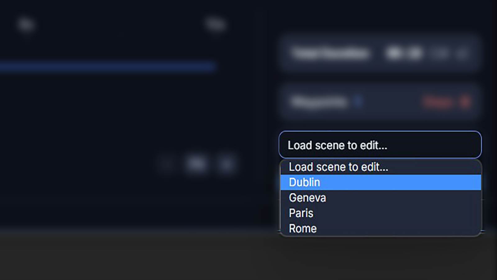
A scene is not a one-way export. Everything you set up in the panel is written into the composition itself, so it travels inside the project file: reopen the .aep, pick the scene from the list at the bottom of the panel, and the map, the waypoints, the route and the connections are all back exactly as you left them, ready to be changed. Move a waypoint, restyle the route, extend the flight, press Finalize again.
Map imagery has terms, and most tools leave you to discover that on your own. Map Animator Pro shows a licence badge next to the style you picked, defaults to sources that are free to use, commercial work included, and writes the required attribution into the composition for you. Styles that need your own API key are marked with a lock, and that key never leaves your machine.
Type a place; the panel frames exactly what the comp will show.
Free styles with no account, keyed providers with yours, or your own style URL.
Click the map; each pin remembers its own zoom, tilt and rotation.
Drag a node to retime a leg; hold on any stop.
Snap to roads or fly great circles; import GPX, get a shape layer.
Two clicks make an arc; attach a null and fly it.
Real OSM footprints, extruded, light enough for a whole city.
Assets beside the project; move it without breaking it.
Map Animator Pro is made by Marco Belli, author of After Effects scripts and templates for map animation already used by thousands of editors, including 3D Earth Connections and Map Route Generator.
Your licence activates the machines you work on and stays yours. Updates included.
Prices in USD. 14-day refund if you haven't activated a licence yet. Questions before buying? Read the FAQ.
The demo is the real plugin with the paid features left out. Maps it imports carry a watermark in the image itself; that is what makes a free trial possible.
Download for Windows & macOSZXP extension · installs in a couple of minutes
The extension is registered at startup, so it has to be installed with AE closed.
Use a ZXP installer such as the free ZXP Installer or Anastasiy’s Extension Manager, then confirm.
Start After Effects and open Window › Extensions › Map Animator Pro.
| After Effects | 2019 (16.0) or later for search, map creation, the camera, routes and labels. 3D Terrain and Buildings render on After Effects’ own Advanced 3D renderer, introduced in After Effects 22.3 (2022); check Help › About After Effects if you're not sure which version you have. |
|---|---|
| Operating system | Windows 10/11, macOS 11 or later. |
| Internet connection | Required. The plugin builds scenes through its own service, so it does not work offline. |
| Map API keys | Not needed for the free sources. Styles from MapTiler, Mapbox, Thunderforest, Jawg, Geoapify or Stadia use your own key, which stays on your machine. |
No. The default sources, OpenFreeMap, Versatiles, Carto and Esri satellite, need no account at all. A key is only needed if you want a style from MapTiler, Mapbox, Thunderforest, Jawg, Geoapify or Stadia; you paste your own, and it stays on your machine.
Yes, with a full licence. The map imagery itself follows the terms of the source you picked: the panel shows a licence badge for each style and writes the required attribution into the composition. Reading the provider’s terms is still on you; those terms are theirs, not ours.
That is the whole point. You get a normal After Effects camera with real keyframes, routes and features as shape layers, labels as text layers. Move a keyframe, change the easing, add a stop; nothing forces you back into the panel.
HD Finalize, map features from vector data, and the 3D tools (terrain, extruded buildings, height map export). Everything else works, and maps imported by the demo carry a watermark baked into the image.
No. Map tiles, elevation data and scene building all go through the network, so an internet connection is required. Tiles you already downloaded are cached and reused, so rebuilding the same area is fast and costs no extra bandwidth.
Yes. A full licence covers two machines and a Studio licence five: any of them can be released from one computer and activated on another, from the panel itself.
Yes. Everything the plugin imports is written into a Map Animator Pro Assets folder next to your saved project, so the whole thing can be moved, archived or handed to someone else without missing footage.
Full refund within 14 days of purchase, as long as you haven't activated a licence on a machine yet. Write to support@mapanimatorpro.com.
We're preparing your licence key, this only takes a few seconds.
Your licence key:
MAP-XXXXX-XXXXX-XXXXX-XXXXX
We've also sent it to your email. Paste it into the panel's licence activation screen to unlock the full plugin.
Download Map Animator ProYour payment went through, but issuing the key is taking longer than usual. It will arrive by email shortly - check your inbox (and spam folder), or contact support@mapanimatorpro.com with your order confirmation.